Geographic mapping can be used in class to create maps, create history projects, explore the world and so much more.

Photo by Jan Vernarec on Unsplash
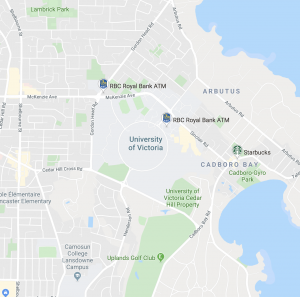
Google Geographic – How to create in maps
- Google “My Maps”
> use layers to attach media, routes, area and landmarks - Can be used for lesson/project ideas such as:
> points of interest
> student commentary
> family heritage maps
> fictional settings
> trip planning - Google Street View
> not just streets!
> visit architectural sites
> can show cultural, political, physical geography - Google Earth vs. Google Maps
>experience over utility
> 3D imagery
> get students to find house as an activity
> use flight simulator
> view past to see how land and cities have changed/grown over time
> use layers to show endangered habitats
> google moon, mars and sky to see space
>voyager theme – curated tours of various places around world

Project ideas for using Google maps could include:
- 20 questions
- math games with activities to find distances
- scavenger hunt – give coordinated and find
- explore different environments
Using My Maps in classroom
> cross-cultural project
> gold rush history project
> road trip journal
> historical timeline

Leave a Reply